We fly for you: Hyperspectral flights with one of the worlds best sensors!
Presented in collaboration with our Partner Headwall and the Center for Hyperspectral Remote Sensing Europe (CHRSE), FlyHSI lets you hire us for remote sensing hyperspectral drone flights. We’ll come to your location with an appropriate drone and hyperspectal sensor, conduct the flights, process the data, and give it to you, all for much less than the cost of buying a system and doing it yourself.

WHAT WE PROVIDE:
HSI UAV flight(s) over your area of interest
Support with any necessary flight permits
Trained and certified drone pilots with many years of experience
Support with data evaluation also possible on request
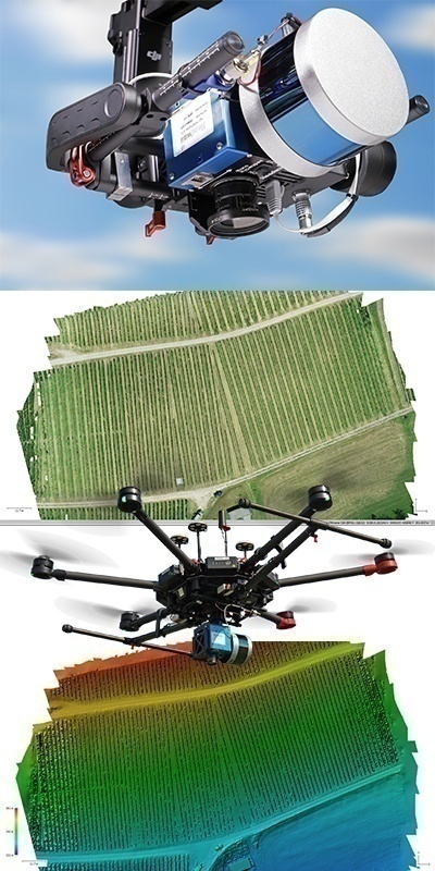
Radiance and reflectance corrected and orthorectified ENVI data set(s) in UTM
Our geo-konzept pilots have performed thousands of flights and are experts for UAV, remote sensing and data processing.

Contact us now!
FLIGHT PLANNING
- Safety
- People, objects, assets
- Objectives
- Trade-offs
- Strategies and priorities
DELIVERABLES
- Raw: It’s your data! Everything, if you want it
- Intermediate: If you want it (trajectories, hyperspectral radiance, for example)
- Final: Non-proprietary, research-ready trajectory
- RGB orthomosaic .tiff
- Hyperspectral .bin orthos, flightlines, etc.
- LiDAR .las/laz, .tiff DSM, etc..
- Custom per request/review
WE DISCUSS
- Equipment
- Planning
- Risk Factors
- Operations
Perfect partner, perfect tools – geo-konzept & CHRSE use:
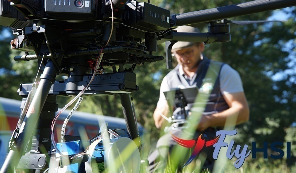
UAS: DJI M600 Pro; Ronin Gimbal // DJI M300 RTK
Software: Bly3D (Aermatica) // UgCS for flight planning
Sensors: Headwall Nano-Hyperspec VNIR (400 – 1000nm) // Headwall Nano HP (400 – 1000nm)
Please contact us for other sensor options.


