Precise position fixing!
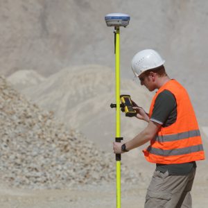 Using a network of fixed reference points (control points), you can position your quarry face models precisely in a high-order coordinate system, even without your own GPS system. The 3D quarry face model is geo-referenced by calibrating the laser scanner with at least three control points. Then data, such as lower and upper edges or hole positions, can be exported and combined with external data (e.g. digital mine plan). geo-konzept GmbH will create a network of control points for you in a matter of hours.
Features
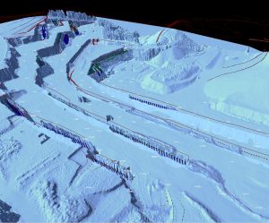
— Precise adherence to mining boundaries
— Update mine plan maps
— Geo-reference any points
— Precision greater than 2 cm
Data sheet


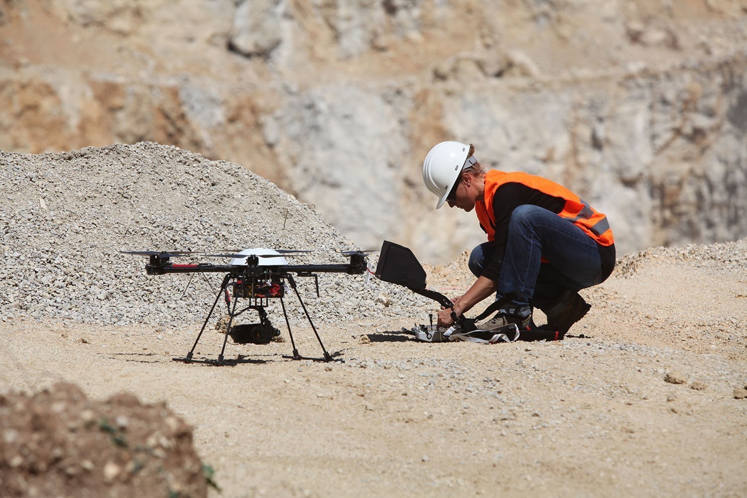
 Whether with a high-precision laser scanner or via UAV flights, our services also include complete 3D surveying of your operation!

