GPS & GNSS surveying
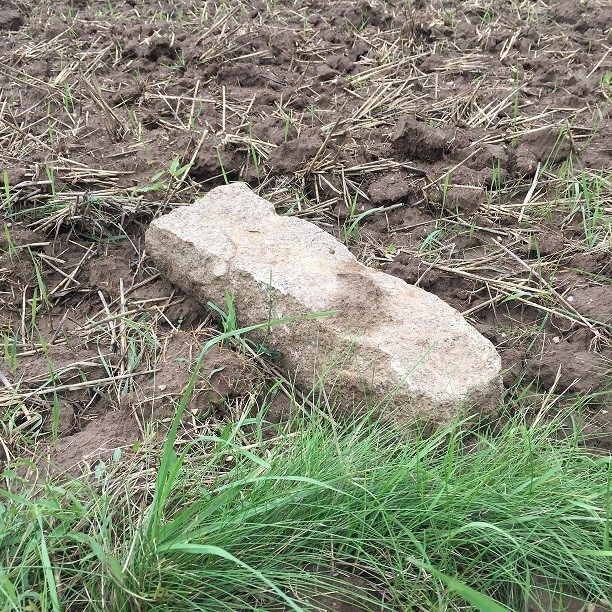
geo-konzept offers a highly precise RTK system for finding boundary stones. Receiver, handheld and software form a complete package that can be transported in a compact case. The easy-to-use system allows even beginners to find their boundary stones quickly and reliably. Geo-data from the respective land surveying office acts as the starting point. The geo-konzept field boundary converter can be used to transform data to take into consideration historical misalignments. The individual components represent powerful and robust technology. That means fast installation and precise results. 2 cm RTK accuracy is achieved, thanks to our own correction data service AgCelNet. The software’s navigation function allows boundary stones to be staked out exactly.
Features
- Compact and robust system (IP 67/IP 68)
- Easy to use and configure
- Compatible with existing systems
- Optional integrated UHF wireless modem available

