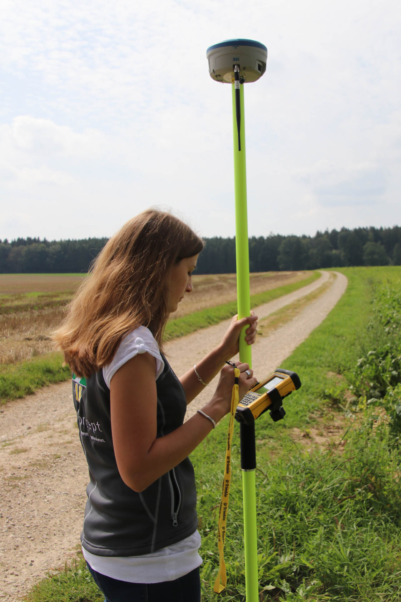
Your GIS data will be mobile!
 Our mobile GIS solution for professional surveying of areas, lines and points as well as taking out points in the field. It is easy to use and can be combined with several GPS/GNSS receivers and other sensors.
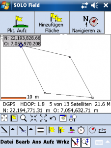
Update existing or log new data. With geo-mobile EZ on your handheld or tablet, you can record multiple features at the same time. You can automatically create time-saving attribute lists and input masks using your existing shape files. Our software supports all established geo-data formats. Take static measurements or survey your property boundaries in kinematic mode. Save yourself from running duplicate paths when mapping neighboring areas; record both areas at the same time! Looking for a boundary stone? Mark the point you’re looking for on the background map or enter its coordinates—one click and the software will show you the way.
geo-mobile EZ can be used in agriculture and forestry, e.g. for surface measurements, soil sampling, surveying for cadastral inventory maps, community administrative tasks, e.g. managing and maintaining infrastructure, planning maintenance work, landscape planning, e.g. surveying biotopes, mapping land-use plans for water management, e.g. maintaining pipe networks.
Features
— Minimal hardware requirements
— Navigation function
— Static and dynamic measurement
— Use laser surveying to round out your GPS receiver
— Work with background data
— Quality parameters, such as SNR, PDOP and HDOP, or receipt of DGPS and RTK corrections, are automatically documented
— Log multiple features at once and save time and travel distances

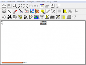 SoloOffice is the PC version of the favorite, geo-mobile EZ, and is therefore the perfect addition for office use. Now available in German, it offers numerous GIS functions at an affordable price.

