Remote sensing in mining
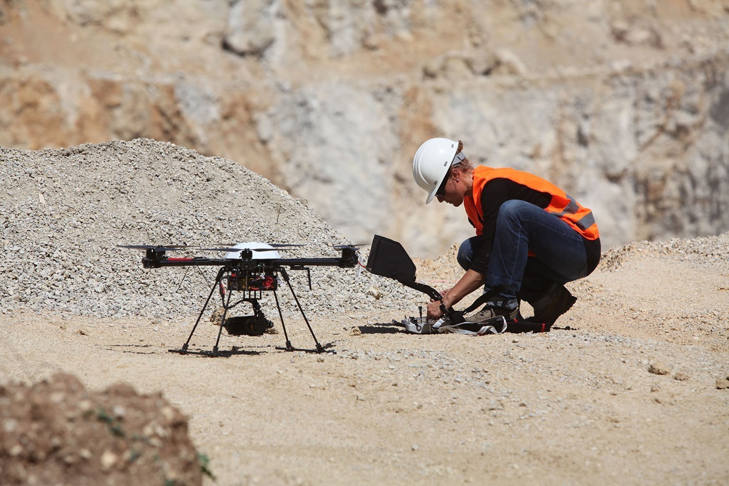
In the area of “Mining & Quarrying”, remote sensing by means of UAV offers a huge variety of possibilities for the objective and cost-effective documentation of quarries and stock-piles, to increase the effectivity as well as operational safety and to simplify workflows. We offer you a complete bundle consisting of UAV, camera, software for planning, evaluation and calculation of volumes as well as a training of several days’ duration to be ready for using the system immediately. Everything by one partner!


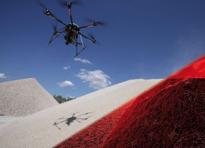 Calculating the exact volume of stock-piles, mucks or pits in quarries, power plants and building material factories never has been so simple, fast and exact. Our stock-pile system flies fully automatic and records the extent of the area from above in millions of image survey points within a few minutes. After a short processing time, the highly accurate 3D model is available and our software
 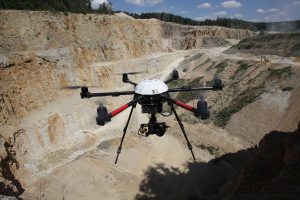 The mining solutions of geo-konzept belong to the standard software in this industry. The combination with our UAV quarry survey package provides you with up-to-date and highly accurate data about your premises. These are implemented as digital mine plants in our software
