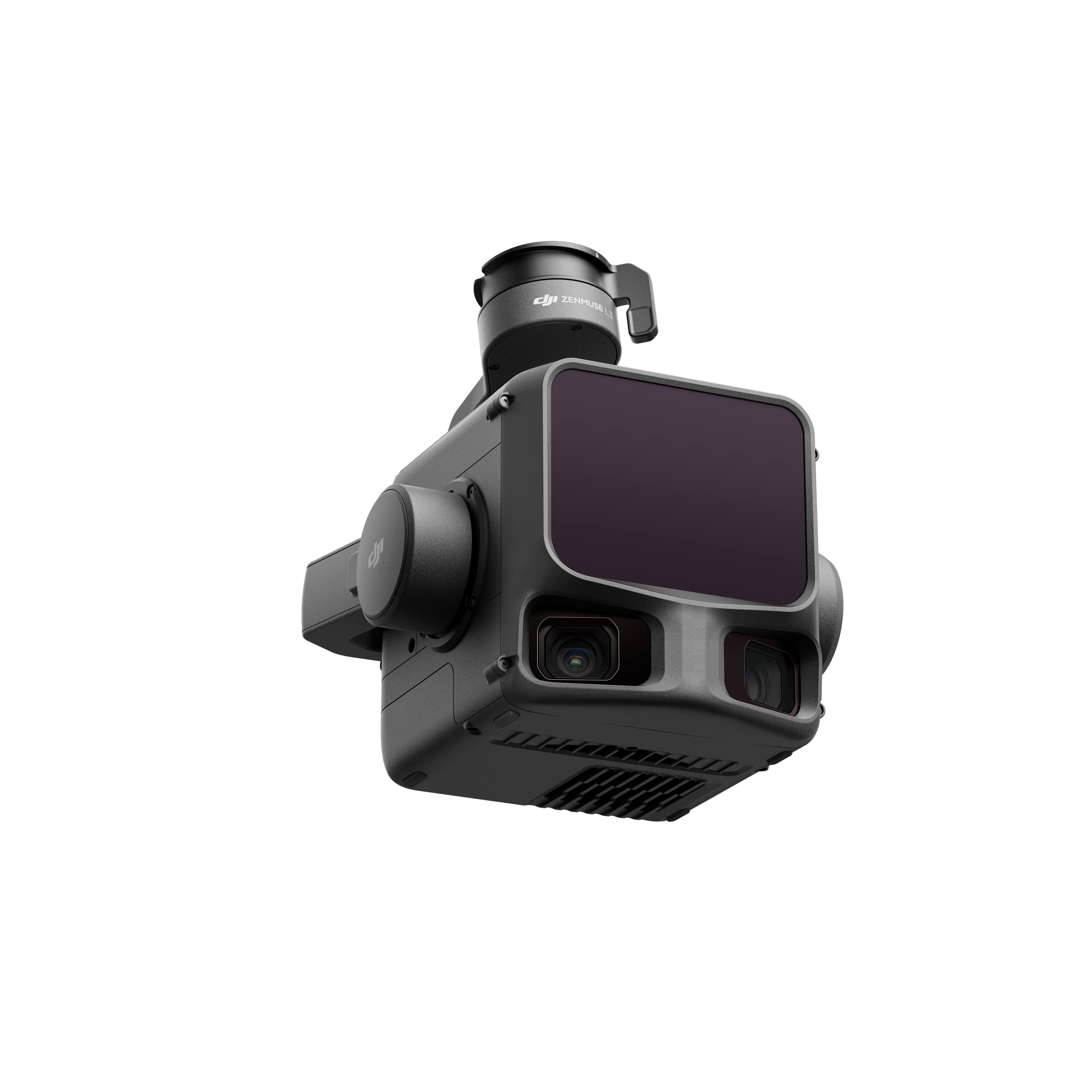
LiDAR sensors in drones use lasers to create highly precise digital images of the environment: light pulses are emitted and reflected by objects. The resulting point clouds enable detailed surveying, mapping, and inspection, even under challenging lighting conditions. The new standard of surveying and inspection – with state-of-the-art LiDAR sensors that deliver not just 2D images, but complete 3D point clouds of your projects – day and night.
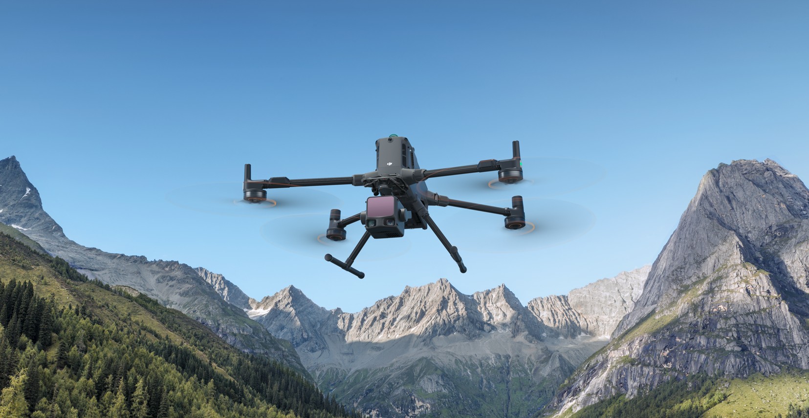
NEW: DJI Zenmuse L3
Drone inspection camera for outstanding productivity
Your advantages
— 1535 nm Long-Range LiDAR
— 2x 100-mp mapping cams
— High accuracy (3 cm)
— Up to 50 km² per day
The next-generation, high-precision DJI LiDAR system features a 1535 nm long-range LiDAR sensor capable of detecting objects with as little as 10% reflectivity at distances of up to 950 m, while maintaining exceptional penetration capabilities.
Two 100 MP RGB mapping cameras and a high-precision POS system accelerate geospatial data acquisition, enabling daily coverage of up to 100 km². Combined with the D-RTK 3 multi-function base station, DJI Terra, and other DJI enterprise software, the Zenmuse L3 offers a complete solution that streamlines workflows and significantly expands the range of possible results.

