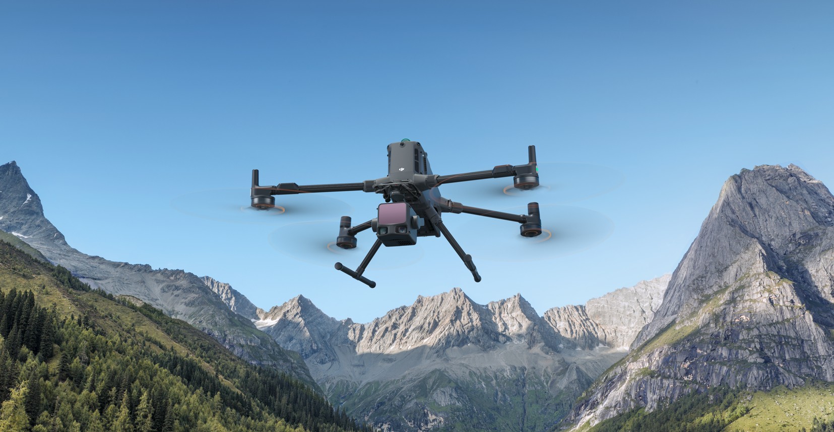
LiDAR sensors in drones use lasers to create highly precise digital images of the environment: light pulses are emitted and reflected by objects. The resulting point clouds enable detailed surveying, mapping, and inspection, even under challenging lighting conditions. The new standard of surveying and inspection – with state-of-the-art LiDAR sensors that deliver not just 2D images, but complete 3D point clouds of your projects – day and night.
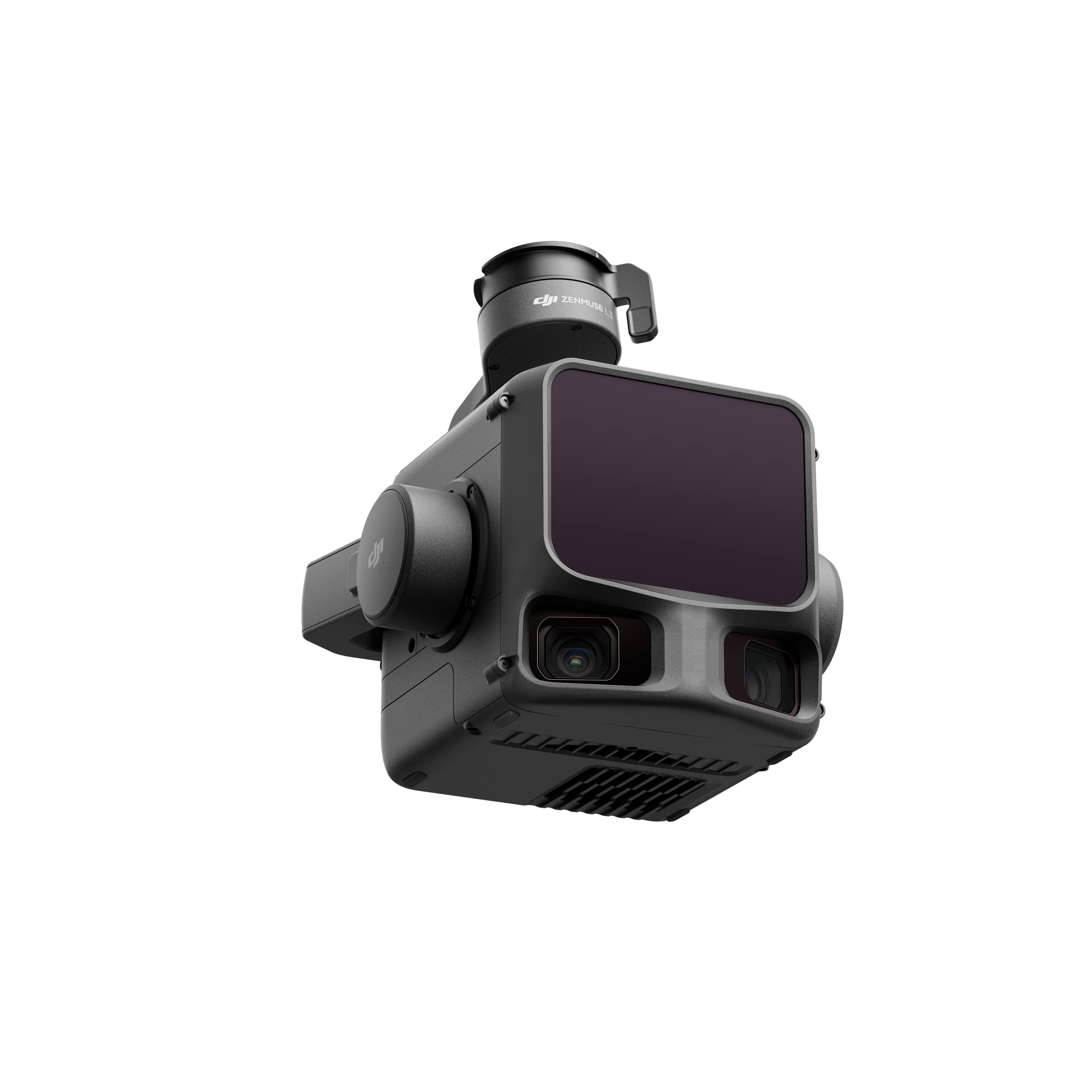
NEW: DJI Zenmuse L3
Drone inspection camera for outstanding productivity
Your advantages
— 1535 nm Long-Range LiDAR
— 2x 100-mp mapping cams
— High accuracy (3 cm)
— Up to 50 km² per day
The next-generation, high-precision DJI LiDAR system features a 1535 nm long-range LiDAR sensor capable of detecting objects with as little as 10% reflectivity at distances of up to 950 m, while maintaining exceptional penetration capabilities.
Two 100 MP RGB mapping cameras and a high-precision POS system accelerate geospatial data acquisition, enabling daily coverage of up to 100 km². Combined with the D-RTK 3 multi-function base station, DJI Terra, and other DJI enterprise software, the Zenmuse L3 offers a complete solution that streamlines workflows and significantly expands the range of possible results.
Qube 640 (Payload just for Trinity Pro)
The LiDAR scanner for the Trinity Pro
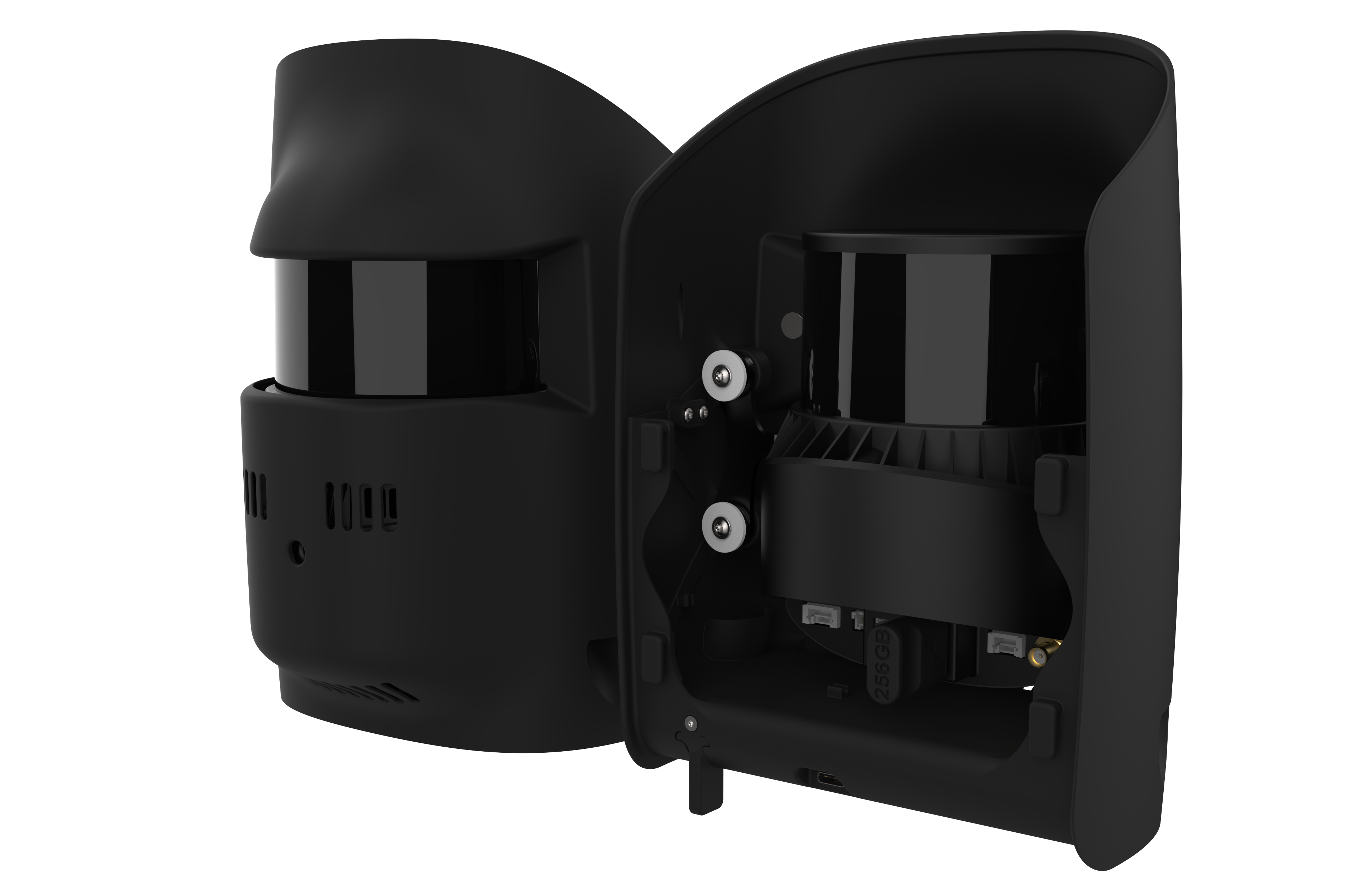
Features
— Range: 300 m
— Integrated 8 MP camera
— High accuracy (3 cm)
— 176° field of view
The Qube 640 was developed in collaboration with YellowScan for Quantum Systems’ Trinity Pro.
It offers a selectable field of view (FOV) of up to 176°. Combined with Trinity’s capabilities, it enables scanning corridors up to 32 km long in a single flight. With a 120° field of view, it increases productivity by 50% compared to its predecessor, the Qube 240.
The sensor provides improved vegetation penetration, capturing details of foliage and tree trunks, and, thanks to the new IMU, enables vertical scans with less edge drift.
An integrated 8 MP RGB camera allows for LiDAR capture and colorization in the same flight.

