3D laser scanning system
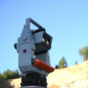
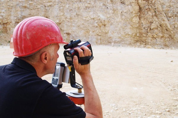
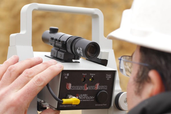
 3D FastScan Profiler HP is an automatic 3D laser scanning system. This extremely light and compact device senses the quarry face fully automatically and stores the data in a handheld. The device achieves a measurement rate/speed of up to 181 points/10° per second.
The system’s modular design enables fast and easy updates and upgrades on external data loggers. Furthermore, the handheld can also be used with other surveying instruments, such as blasthole probes or GPS/GNSS.
The device offers a distance accuracy of 2.5 cm and is eye-safe as per laser class 1M.
Features
— Measurement rate of up to 181 pts/sec
— Angular accuracy of 0.009°
— Horizontal and vertical rotational speed of up to 10°/sec
— Measurement intervals (0.10 m at 100 meter distance)
Data sheet


 3D FastScan Profiler HP is an automatic 3D laser scanning system. This extremely light and compact device senses the quarry face fully automatically and stores the data in a handheld. The device achieves a measurement rate/speed of up to 181 points/10° per second.
 Precise plans mean economical and safe blasting! Precise quarry face data form the basis for precise planning. The affordable 2D basic system is the gateway to precise laser quarry face surveying.
