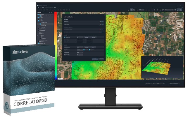
Evaluation of remote sensing data
You have data of an application e.g. in surveying, agriculture or mining? Our software solutions enable you to quickly process your remote sensing data from RGB, multi-spectral and thermal cameras to georeferenced orthophotos, terrain models, vegetation indices or 3D point clouds. We offer the right solution for every application!


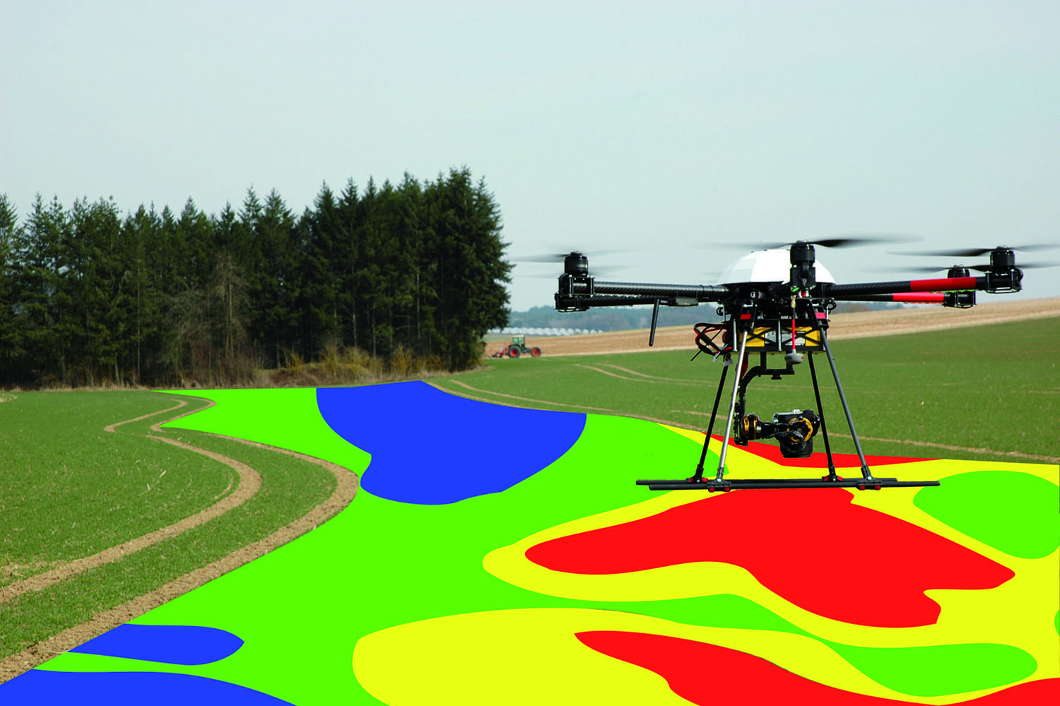
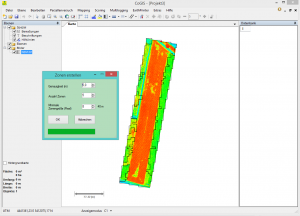 coGIS offers, beside the flight planning, also the possibility to generate vegetation indices (e.g. NDVI etc.) based on the flight data to create application maps for a site-specific treatment. These can be downloaded as shape-files and directly transferred to the Trimble FmX/TMX-2050 or exported as ISOXML. Furthermore damaged areas can be easily digitized and archived for the claim adjustment.
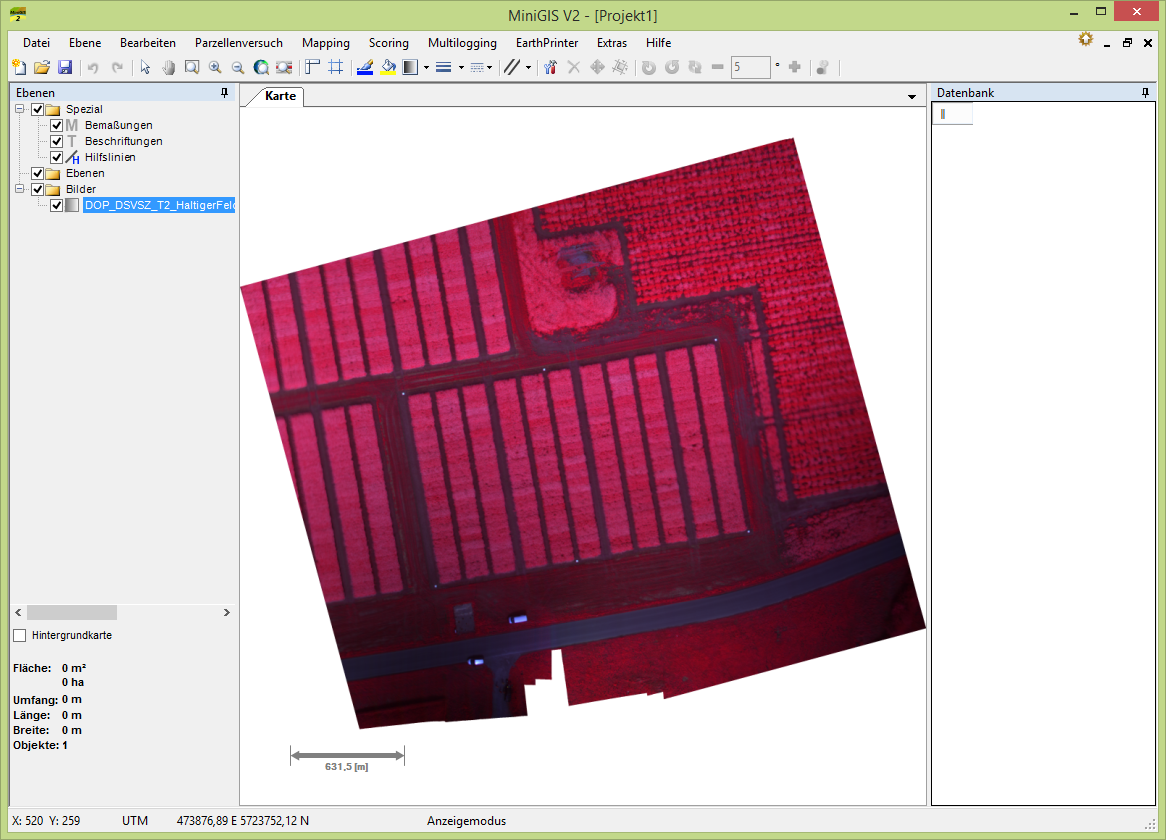
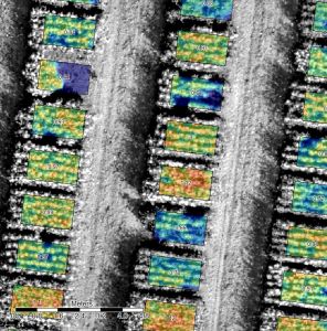 The “Advanced Scoring” module for miniGIS allows you to load digital terrain models and georeferenced multispectral orthophotos of your parcel trials. Thereby an automatic creation and assignment of scoring values per parcel and a statistical evaluation as database file (* .dbf) or comma-separated values (* .csv) can be created and exported. Due to the possibility of a colourized highlighting of scoring values per parcel, a potential trial error can be identified within one mouse click.
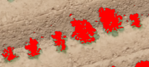 The counting of objects is one of the most personnel and time consuming scoring parameters in trial management. Via an UAV flight, RGB orthophotos with a high resolution can be created. Hence it is possible to count objects like e.g. single plants or spikes or flowers. With the Counting-AddOn for miniGIS, this scoring can be executed easily, autonomously and automatically for each parcel. Herby it is furthermore possible to gauge the automatic counting manually and determine further parameters like the soil coverage parcel specifically.
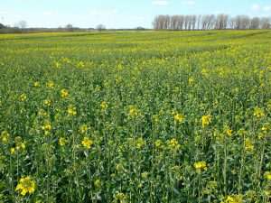 This miniGIS module facilitates the scoring of flowering in rape seed. At the moment it is necessary to determine the flowering state manually in a regular interval during one month. This scoring hence is linked with huge personnel expenditure and leads to a subjective result. By only some UAV flights, this task can be accomplished more objective and quicker. Premise is the use of a Tetracam MCAW multispectral camera. The UAV data provides you with absolute values of the beginning of flowering.
 The UAV module offers you the possibility to analyse and evaluate remote sensing data easily and quickly. Here you are not restricted to any UAV platform or sensor. Upload your data and compare different records or rate the amount of damaged area in one record. Calculate the site-specific differences of your fields and visualize them. The parameters of the application maps can be individually configured and adapted to your requirements (e.g. machine width, planned application etc.). The finished application maps can be exported in different machine-readable formats and afterwards directly transferred to different tractor terminals. Furthermore there is the possibility to include the UAV data in the complete range of FARMInfo and use it in other modules.
