Mobile software version for recording data!
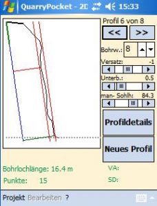 QuarryPocket is an easy-to-use, modularly designed software for the collection and easy analysis of quarry survey data.
It can record 2D profiles, 3D quarry face data, GPS positions and hole deviation data.
Analysis and planning tools are available for hole deviation and 2D data.
2D module
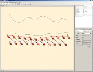
Records 2D profile data (2D system) with the option of planning the blast project directly on site using a handheld.
The visual profile display and specification chart are updated in real-time so that the effects of changes in starting point position and the angle or depth of the borehole, are immediately visible. A simple load quantity calculation is also available.
3D module
Records 3D quarry face data (e.g. from manual 3D system) for QuarryX blast planning software.
GPS module
Records points, lines and areas. You can even stake out blast projects previously planned in QuarryX. In the event of very uneven surfaces, the position of the hole starting point is adjusted based on height to ensure maintaining the planned burdens.
Hole module
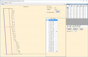
Records survey data from Pulsar blasthole probes (Blasthole Probe Mk3 or Micro Probe Mk3). Hole path and deviations from the target are depicted visually. Point deviations at various depths are represented in a table. The data can be combined with a quarry face model in QuarryX.
Features
— Modular software
— 2D profile recording
— 3D quarry face data collection
— GPS data collection
— Borehole path data collection
Data sheet

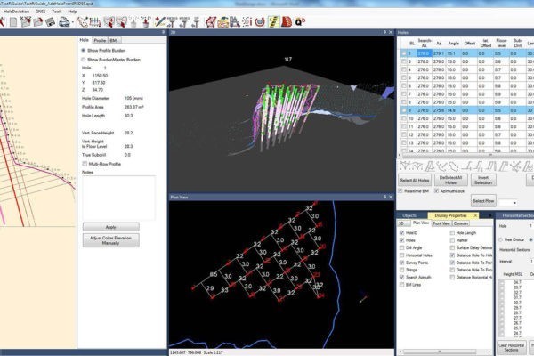
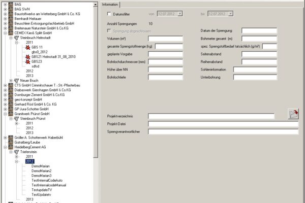
 BlastManager software helps you manage your technical blasting data and serves as an interface between
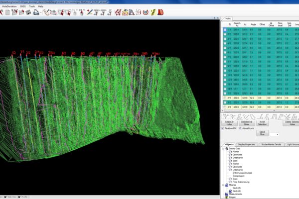
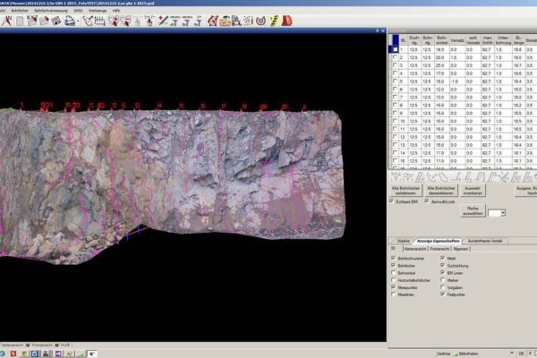
  QuarryX has one purpose: Safe and efficient blasting! Data from
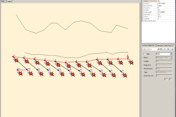
  QuarryDetonator stands for easy and efficient explosives and delay-sequence planning. All recorded data from the
  QuarryPocket is an easy-to-use, modularly designed software for the collection and easy analysis of quarry survey data.
 QuarryX 2D blast planning software assists in planning boreholes with regard to the angle, depth and position of starting points.
