System solutions
geo-konzept does not only offer you single products, we understand ourselves as providers of ready-to-fly system solutions. The advantage is that all hardware and software components come together from a single provider, wherefore they are perfectly matching one to another and, thanks to our many years of experience with the systems and solutions, also perfectly fit your application. Let us advise you, which solution suits best to your requirements in agriculture, seed breeding and mining! We will put together your individual bundle.
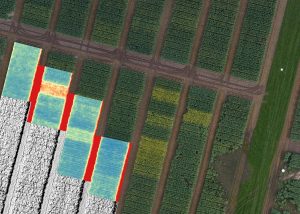 geo-konzept offers components and complete solutions for the execution of scoring in trial management. Especially in their interaction, our products show their advantages and offer a systematic approach. All threads converge in the software
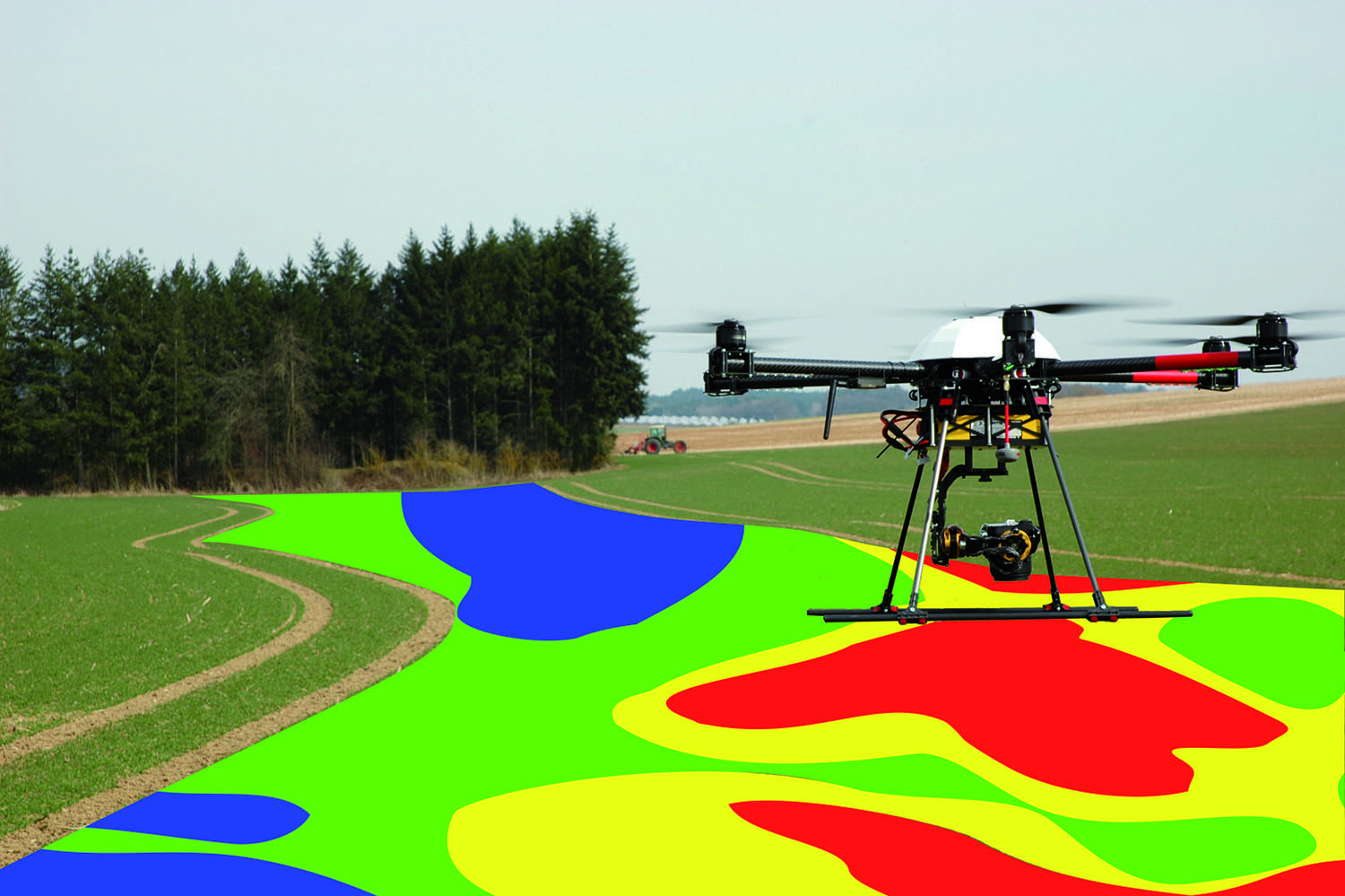
 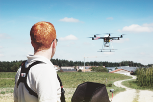 For service providers, an all-season use of the flight system is indispensable for secured and constant sales. With a flexible flight system and selected sensors, the flight system can be used at any time of the year and data can be generated for different areas of application. Depending on the clientele and customer’s orientation, we will provide you with an individual service provider bundle. The most common applications are the creation of application maps for optimized fertilizer applications, the calculation of volumes (biogas plants or stock-piles), the topographic survey of agricultural fields and the detection and quantification of damage caused by game animals or hail. The application of Trichogramma as biological pest control is also increasingly demanded and can be executed with our UAV system.
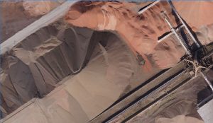 geo-konzept’s UAV stock-pile survey system contains the entire hardware and software for the simple survey from complete quarries up to single stock-piles and cubature. The UAV stock-pile survey system includes the ready-to-fly quadcopter system for automatic mission flight and a high-resolution RGB camera (20.8 MPix) as well as the powerful
 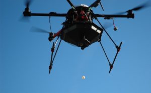 Via Trichogramma containers, ichneumon for the biological control of the European corn borer is ejected. One container (500 balls) can cover about 5 ha. Each ejection and error event is logged for a later review.
